Bike
Horta de Lleida Gravel Loop: Irrigation and Farm Roads
Follow Lleida’s official 33 km Horta loop only on public roads, with dry-ground rules, independent water and respect for working farms.
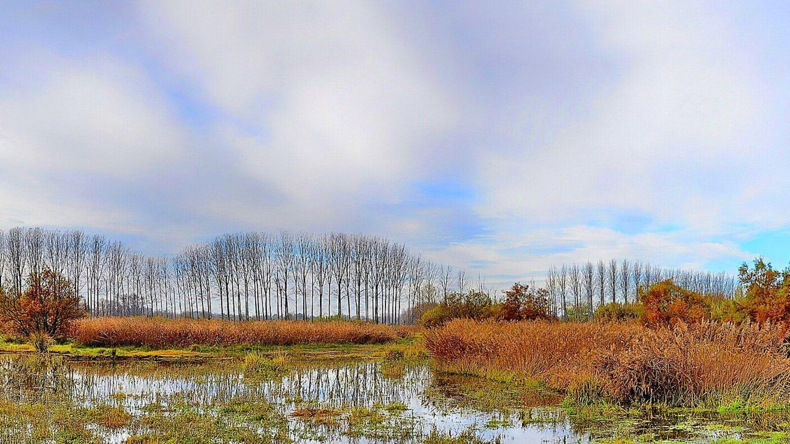
The Horta de Lleida is not open countryside waiting for a gravel line. It is a working agricultural district stitched together by public rural roads, private field entrances, irrigation channels, river paths and paved crossings. The difference between them is the route.
Use Turisme de Lleida’s Landscape and Architecture of the Horta circuit as the spine: about 33 kilometres from Lleida through the Alcarràs side of the Horta, Butsènit and Rufea, returning beside the Segre. Download the official GPX, but do not force its screen line through a gate, crop or unsigned track. The route page itself warns that some recorded sections are approximate.
The 33 km loop in working order
| Stage | What controls the pace |
|---|---|
| Príncep de Viana bridge and canalized Segre | Urban path users, junctions and finding the intended river line |
| West toward Alcarràs | Mixed public farm roads, irrigation edges and exposed sun |
| Camí de Sant Jaume and Butsènit | Agricultural vehicles, paved crossings and the only planned long pause |
| Aiguamolls de Rufea | Soft ground, wildlife disturbance and navigation discipline |
| Segre return to Lleida | Footbridge status, shared path users and remaining water |
Allow three to four and a half hours, including navigation checks and a stop at Butsènit or Rufea. The route is free to ride. The useful budget is therefore a current bicycle rental or service quote plus food and water bought in Lleida, not an attraction ticket.
The official Horta route page gives 33 km and names Alcarràs, the Catalan Way of Saint James, the Ermita de la Mare de Déu de Butsènit, the Segre, Aiguamolls de Rufea and Príncep de Viana bridge. Load its GPX track onto a phone and head unit, then save an offline map that distinguishes named public roads from parcel access.
Do not redraw the loop to pass closer to a photogenic orchard. A shorter line is not useful when it depends on a farm gate.
Public road or field entrance? The Horta ordinance decides
Lleida’s Horta rules allow cycling on the rural network defined by municipal planning and on other roads of public character. They explicitly prohibit bicycles on informal singletrack, stream beds, torrents, rock areas and across open country. The City Council’s ordinance publication is the place to retrieve the current text before adapting a route.
On the ground, follow this hierarchy:
- named public road and official route sign;
- the downloaded municipal track when it agrees with the road;
- a map line only when the first two remain consistent;
- turn back when a gate, private sign, active field or channel contradicts the device.
A GPX does not grant a right of way. Never carry a bicycle around a chain, ride a field margin or use an irrigation-service bank merely because it reconnects to the track. If a maintenance vehicle blocks the road, wait where the driver can see you or retreat to the last junction.
This is also a place of work. Slow before houses, yards and blind farm entrances. Give tractors and trailers the full usable width, stop rather than squeeze beside machinery, and do not pick fruit or lean bicycles against crops, irrigation controls or private walls.
Fine soil turns one shower into the route decision
Dry Horta tracks can be compact and quick. Wet fine soil can adhere to tyres, pack the fork and rear triangle, and make a level lane unrideable within minutes. A forecast showing rain is not an invitation to fit more aggressive tread.
Read the Meteocat forecast the evening before and again in the morning. After rainfall, ask Turisme de Lleida whether the river and Rufea sectors are suitable, or choose an urban/river out-and-back that can be reversed before mud begins. Never move onto the cropped shoulder to avoid a puddle.
A gravel or hybrid bicycle with dependable brakes and tyres wide enough for firm dirt is the sensible tool. Roughly 35–45 mm is a useful planning range, adjusted for rider, load and the actual tyre; it is not a guarantee against mud or sharp debris. Use pressure appropriate to the casing rather than copying another rider’s number.
Carry a spare tube even when running tubeless, plugs, pump, tyre lever and a small tool. Thorns and farm-road debris make a working repair plan more important than suspension. Clean heavy mud without pushing it into an irrigation ditch or private yard.
Alcarràs is the exposure test, not a café promise
The western half of the official circuit leaves the easy familiarity of Lleida’s riverfront. Buildings and tree lines can suggest shade on a map while long agricultural lanes remain exposed. Lleida heat and dry wind can turn 33 flat kilometres into a serious water problem.
Leave the city with the full quantity needed for the ride. Do not count on a farm, roadside tap or producer listed on a tourism page accepting an unannounced refill. Carry food that survives heat, and keep an unopened reserve for the Rufea return.
At the first point where the loop is clearly committed westward, ask three questions: Is the surface still firm? Has the group used less than one third of its water? Is the temperature rising faster than forecast? If any answer is wrong, return on the known line while the city is still close.
The Camí de Sant Jaume segment does not make every connecting lane recreational. Yellow waymarks can coexist with farm traffic and other legal constraints. Hold a predictable line, greet walkers before passing and slow to walking pace when animals or machinery occupy the usable surface.
Butsènit is the only stop that should change the plan
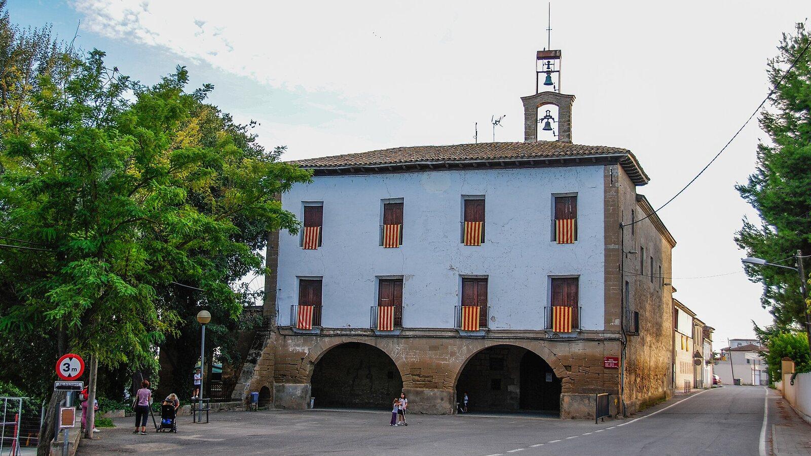
The Ermita de la Mare de Déu de Butsènit is a named anchor on the official loop and a better regrouping point than an arbitrary field entrance. Stop without blocking the road or building access. Treat the exterior as the reliable visit; opening and public access to the interior may not match the riding day.
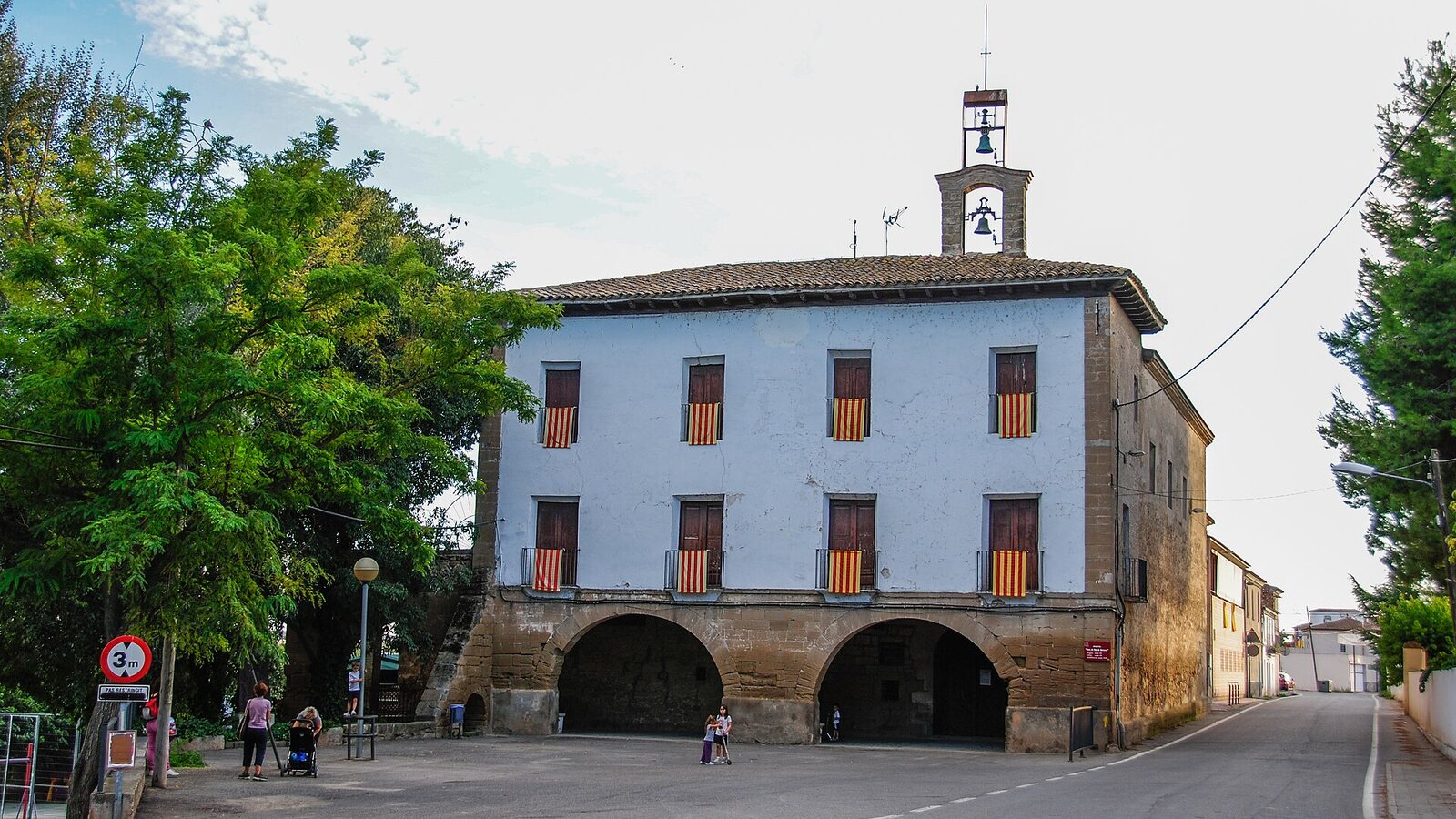
This is the point to choose between completing Rufea and retracing a known route toward Lleida. Continue only if everyone has water, the surface remains dry and the expected Segre crossing is open. A fountain photographed in Butsènit is not proof of current potability; use only water expressly marked safe.
Road crossings require a group rule. Stop together fully off the carriageway, cross one by one or in a compact controlled group when sightlines permit, and regroup beyond the road. Do not leave the last rider stranded on the verge while the first riders disappear down a farm lane.
Aiguamolls de Rufea are not a technical playground
Rufea changes the ride from production landscape to wetland edge. The municipal cycling-routes overview describes Lleida’s Horta as an agricultural area served by a complex network of canals and ditches, and identifies the river route and southern districts among the city’s cycling itineraries.
Stay on the intended public path. Do not ride toward open water, through reed margins or onto an apparently drier wildlife track. Pass walkers slowly, keep voices low and make the stop short when birds are feeding or resting close to the route.
The wetland is also the surface checkpoint. Water on a path, fresh silt or a closed barrier means retreat, not experimentation. Flood and maintenance conditions can change after the GPX was published.
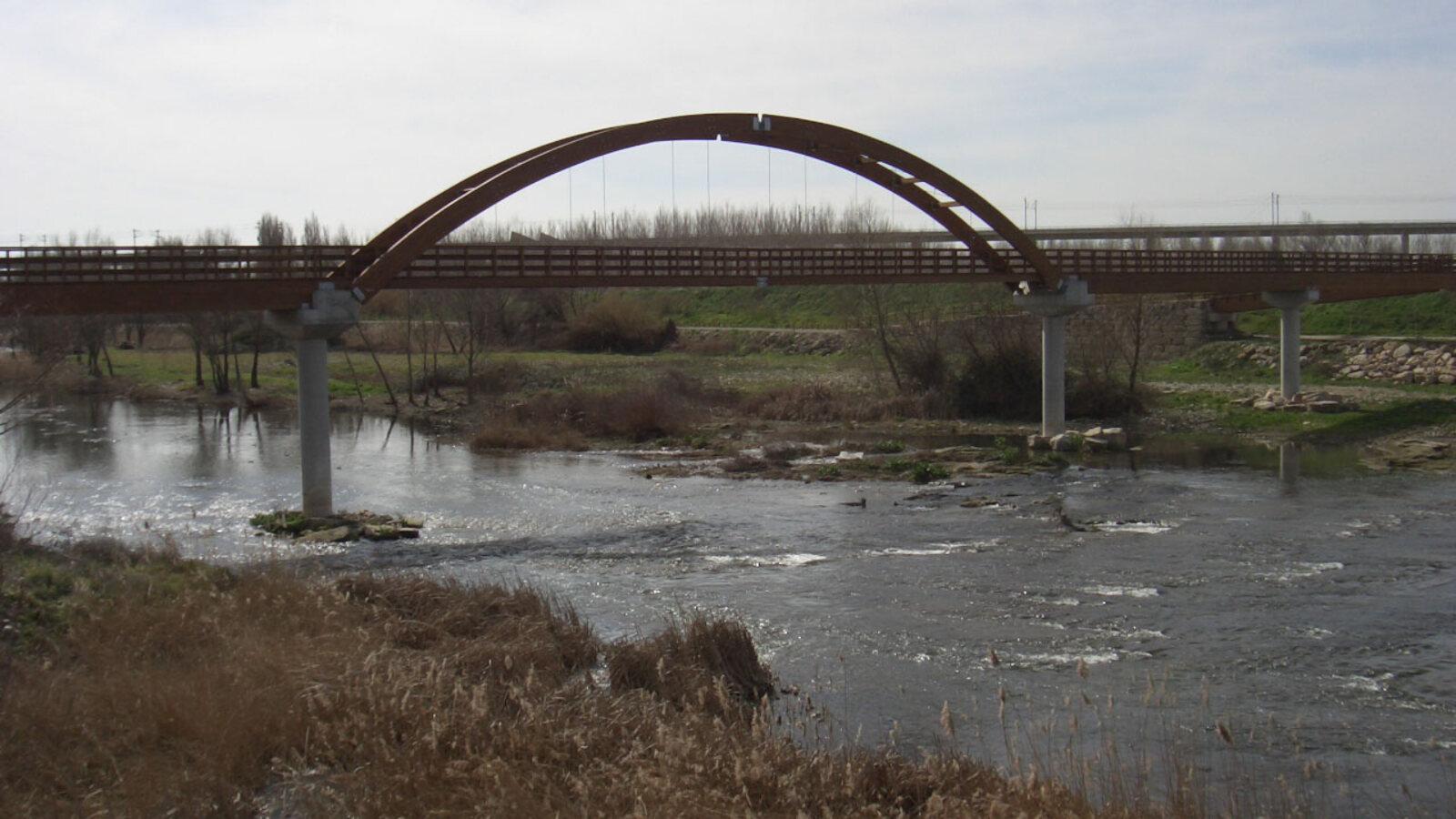
The Rufea footbridge must be open, not merely mapped
The Segre crossing brings the loop back toward Lleida, but no downloaded track can certify the bridge on the day. Inspect its entrance before committing. If the gate is closed, the deck is under maintenance or the approach is flooded, do not improvise a riverbank connection.
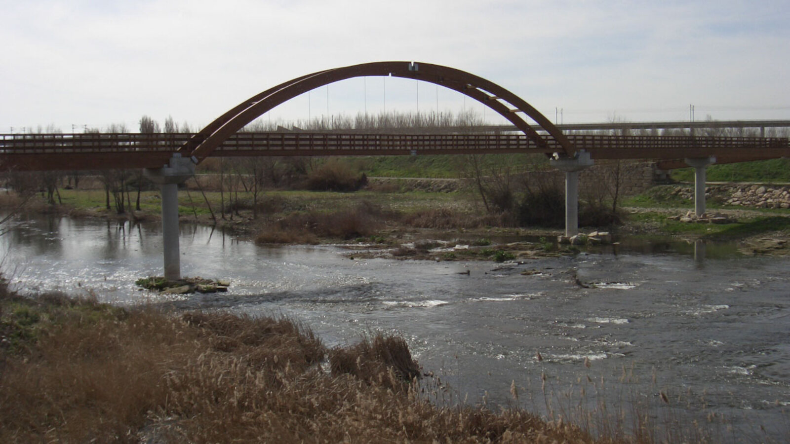
Return on the last known public road to Butsènit or retrace the outward line. Crossing water, lifting a bike around a closure or searching for an informal ford turns a flat gravel ride into a rescue problem.
On an open bridge, dismount if width, pedestrians or signs require it. Give priority to people already crossing and avoid stopping on the deck for photographs. The river return is shared space, not a finish straight.
Príncep de Viana closes the loop only after the city transition
As Lleida’s bridges and canalized river reappear, reduce speed before urban path junctions. Dogs, runners, families and commuters replace farm vehicles, but the need for a predictable line does not change. Finish at the same verified start rather than adding a city-centre detour on fading attention.
If mud, heat, a closed crossing or a contradictory GPX line breaks the loop, report the issue to Turisme de Lleida using the contact on the route page. The correct fallback is a shorter Segre out-and-back on the known legal surface. The Horta is valuable because irrigation, cultivation and access still function here; a good gravel ride fits around that work instead of treating it as scenery to cross.
Related guides
- Pirinexus Figueres to Roses: A One-Way Bike Day
Ride the mostly flat Pirinexus Litoral from Figueres toward Roses, with the wetland branch, wind and one-way bicycle return settled first.
- Banyoles–Rocacorba Gravel Loop: The 68 km Test
Ride the official 68 km Rocacorba and Adri loop with the right tyres, water reserve, timing gate and respect for its road descent.
- Pirinexus from Girona: A Three-Day Starter Loop
A manageable three-day Pirinexus sampler through Girona, Garrotxa, and the Empordà with luggage transfer and surface planning.
Are you in the know?
Receive new articles, local updates, and occasional offers from selected partners. We never share your email address. Unsubscribe at any time.
By subscribing you agree to our privacy policy.